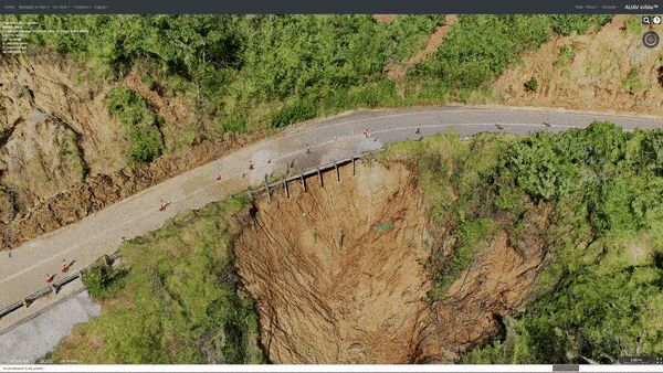
Problem
Drone and geospatial data often produce large, complex datasets that are difficult to review using traditional tools. Teams needed a simple way to visualize 3D site models, inspect assets, compare project progress, and collaborate without relying on heavy desktop software or disconnected workflows. The client needed a unified platform that could support high-resolution 3D models, linked photo inspection, GIS/BIM overlays, measurement tools, annotations, live data feeds, and secure cloud-based access all in one place.