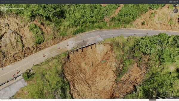
Problem
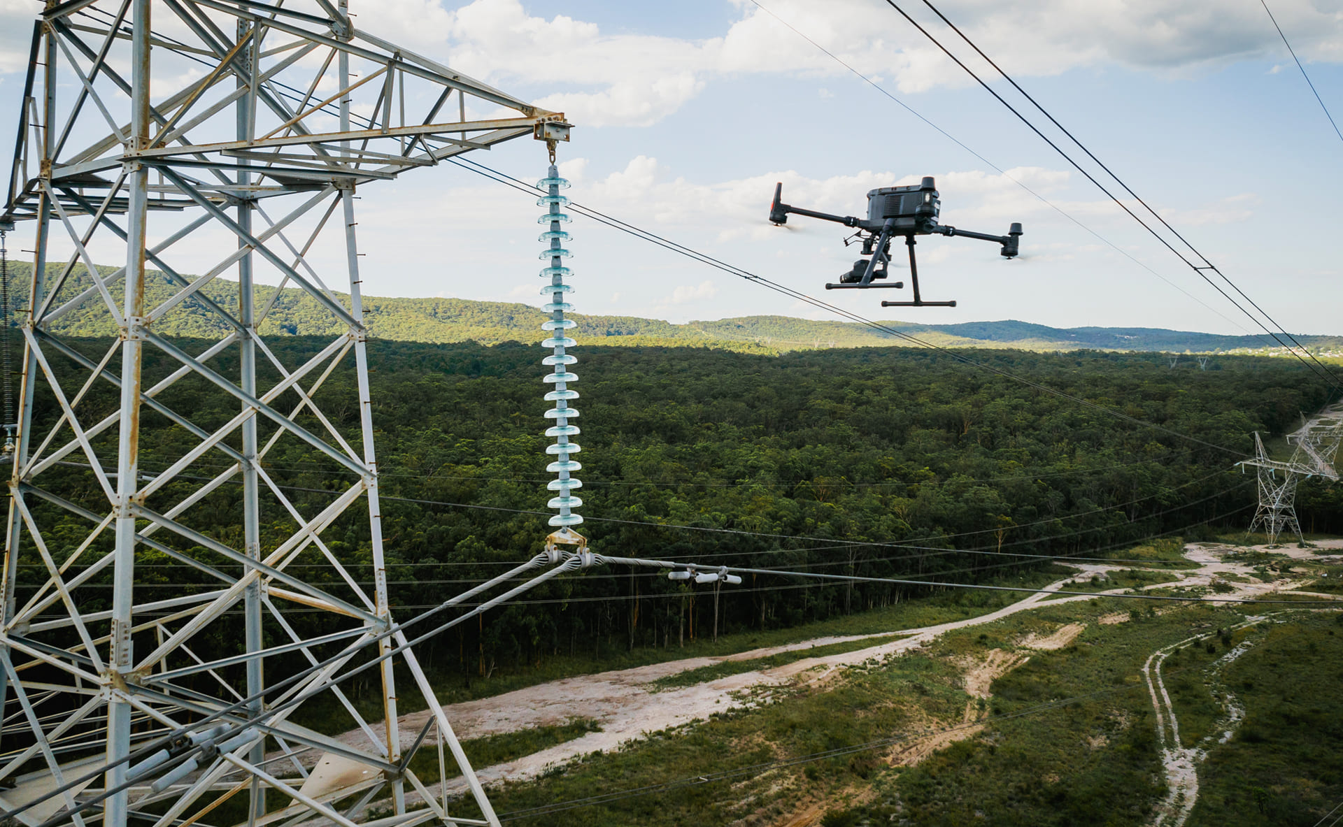
Our client (a leading provider of drone-based site capture solutions) needed a powerful, web-based platform to help their clients visualize and interact with complex geospatial data. The platform had to do more than just display drone imagery, it needed to offer:


")